Cultivating Community

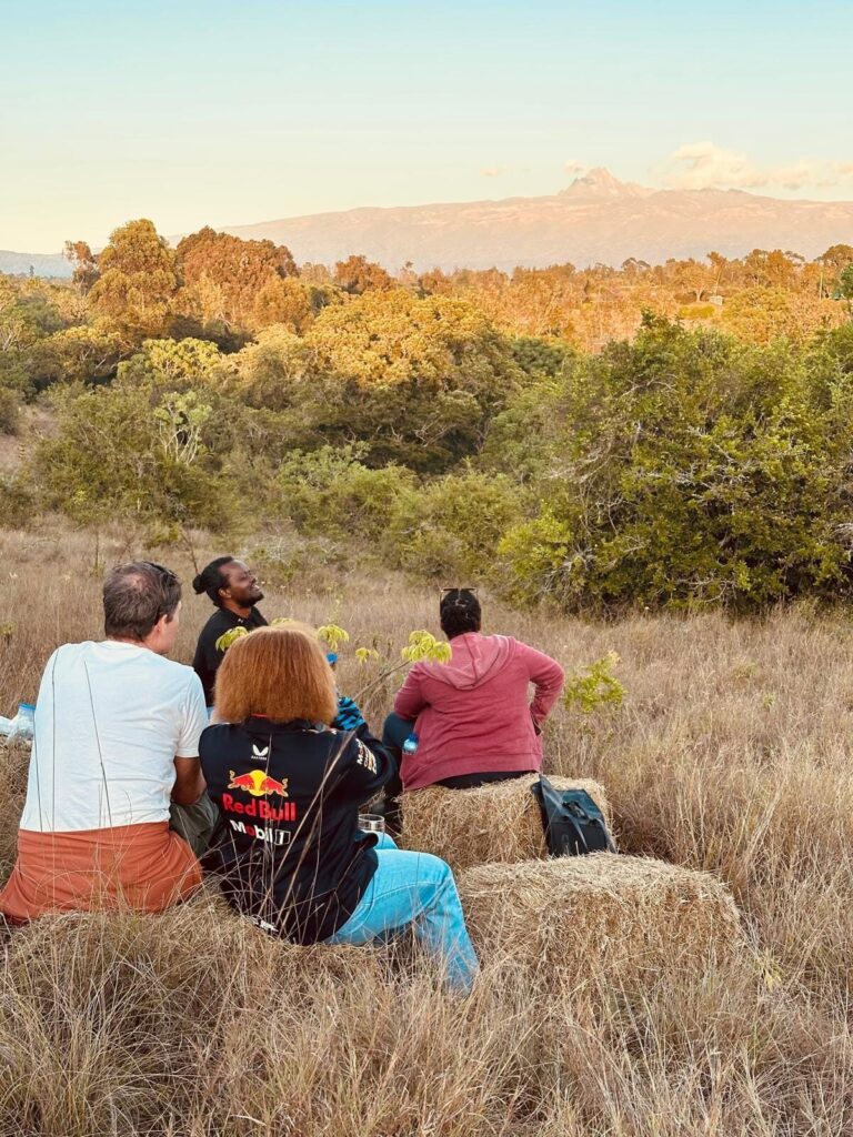
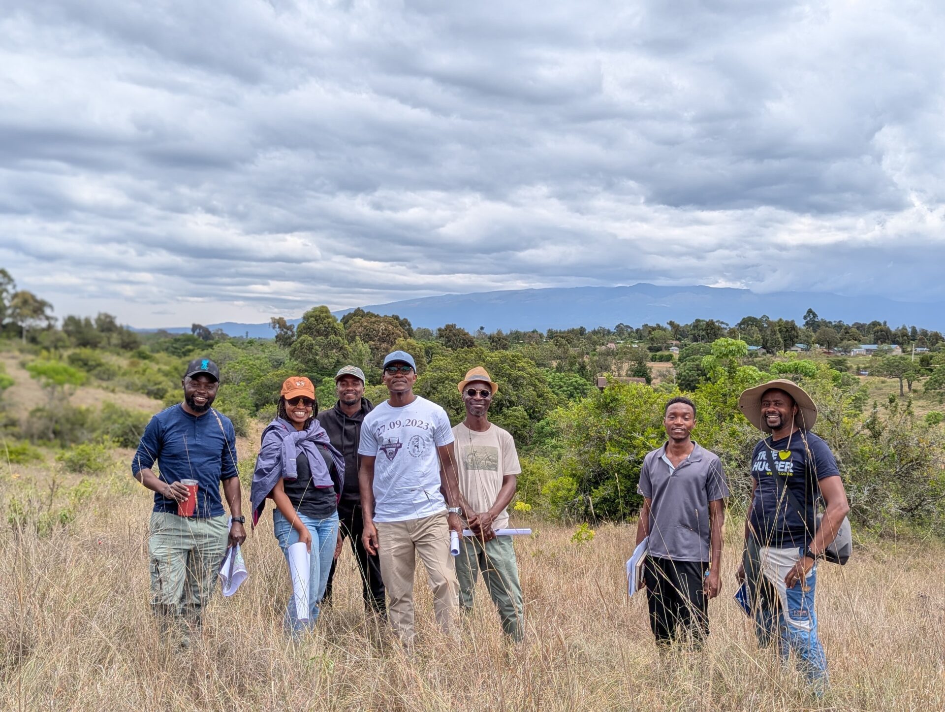
Mwatu brings together Kenyan professionals, from ecology, to science, food, architecture, agriculture, industry, governance, water, sport, and culture to shape a shared relationship with land.

Each half-acre includes a share in the Mwatu Management Company the collective vehicle for preserving ecological, social, and economic capital through clear environmental, design and governance guidelines.

This is not a plot sale or a housing estate it's not a gated community but a growing one. You’re not buying to build immediately, you’re investing in a landscape shaped to hold long-term value with room to generate interim returns through curated community experiences around food, nature and learning based activities.

Five of the eight portions are already committed. Three remain open to aligned individuals.

The Context

We started Mwatu to offer an alternative to specuative land sales, un-planned subdivision and rushed concrete construction.

Instead of pushing buyers to build quickly, we’ve designed a model that lets the land mature so its ecological, social, and economic value can grow.

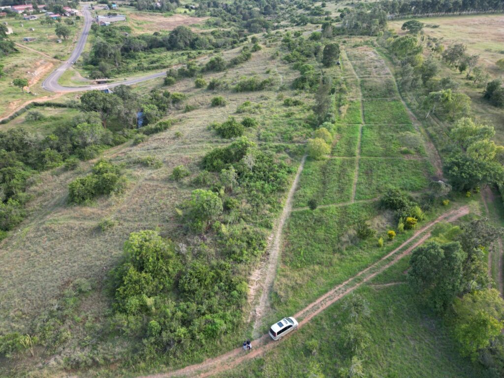
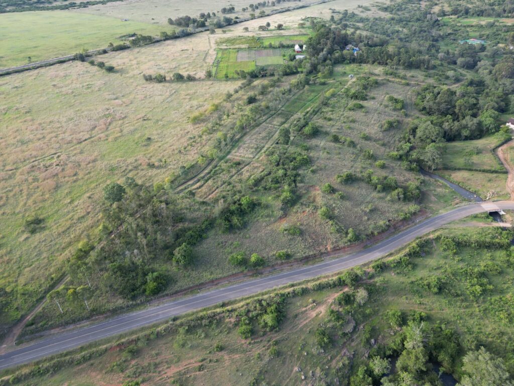
With 75% of the 12 acres kept green and unbuilt, every owner benefits from shared trails, gardens, and preserved open space.

This is our foundation for long-term land value 
Read More

What We’re Growing

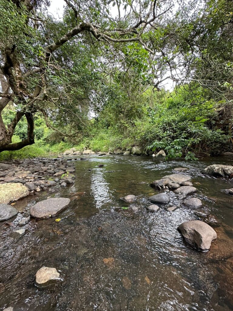
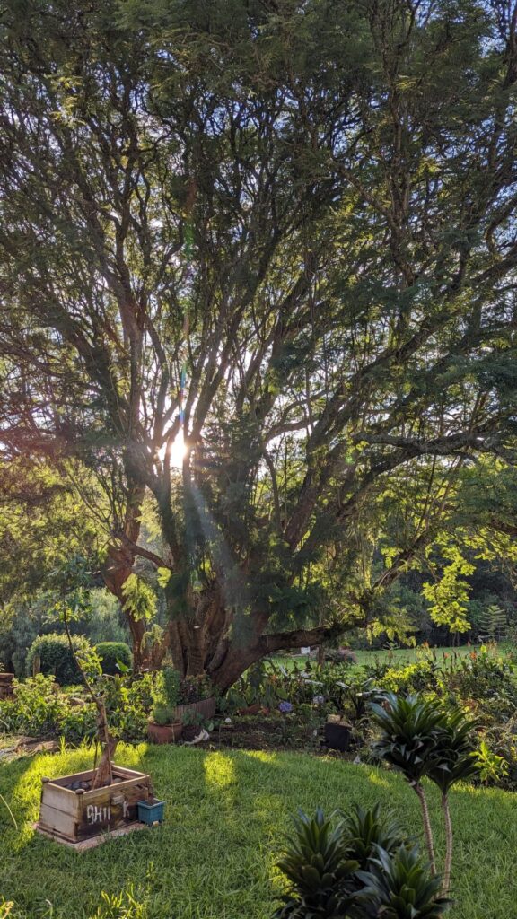
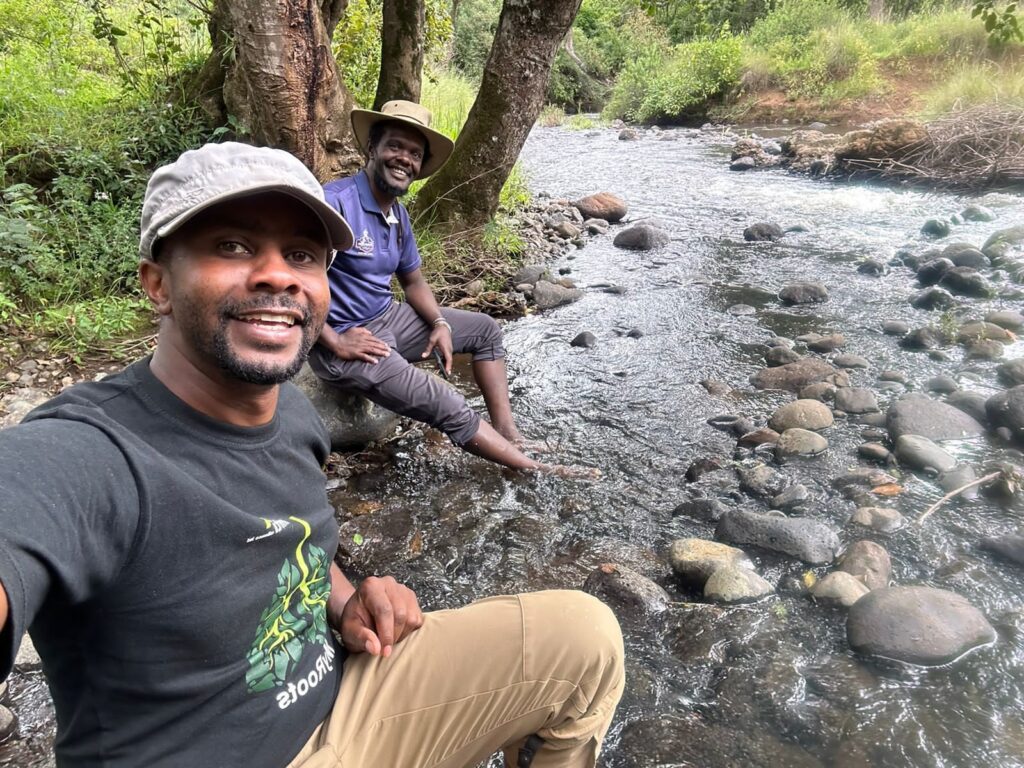
A neighbourhood where over 75% of the land is preserved as a connected landscape of trails, gardens, arboretum, and river frontage shaped by professional design and community stewardship.

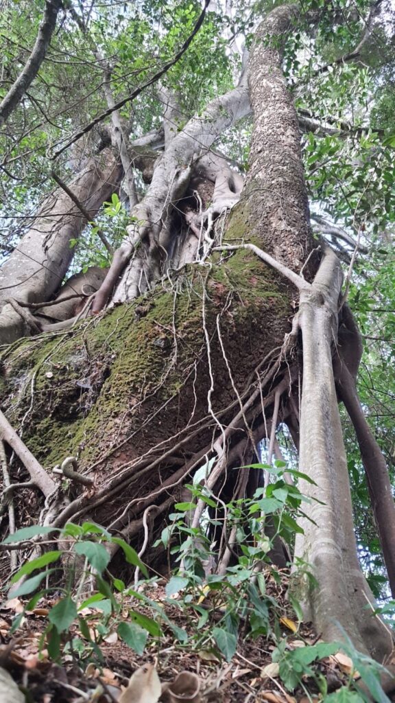
We see edible landscapes, a plant and tree nursery, seed-bank and rainwater-fed systems to support resilience and a variety of seasonal experiences, from culinary events to active and quiet recreation.

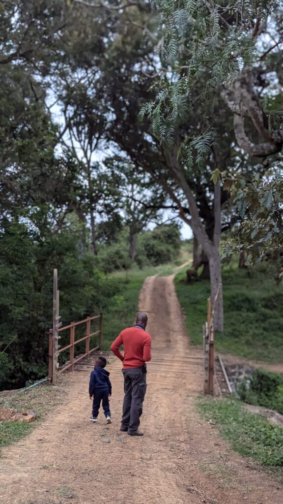
This is land you can camp on, walk, cycle, read, and reconnect with growing in value through care and connection, not concrete.

Key Philosophies

Let the Land Lead

Development begins by listening.

We don’t start with buildings, we start with the land.

Ecology is the foundation that everything else grows from

 Value is a System, not a Price

We don’t measure worth by price alone.

At Mwatu, capital is ecological, economic, and communal.

Value grows where land, people, and systems thrive together.

Community by Design

Good neighborhoods aren’t just found, they’re made.

Every path, portion, and planting is shaped to invite connection.

We design for belonging as much as for beauty and resilience.

The Design and Project Team

View All
Kenyua Gachecheh

Strategic Director, Mwatu

Elly Wanyonyi

Lead Landscape Architect

Michael Waiyaki

Ecological Advisor & Reforestation Partner (MITI Alliance)

Landscape Notes

View All

Land Suitability Summary

The different gradients across the land present different opportunities and levels of suitability for development. Riparian land - 20.7% Sections with steep slopes (above 20%) - 28% Sections suitable for development (with less than 20% gradient) - 51.3%  

Circulation

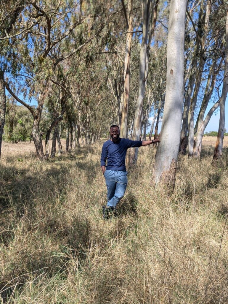
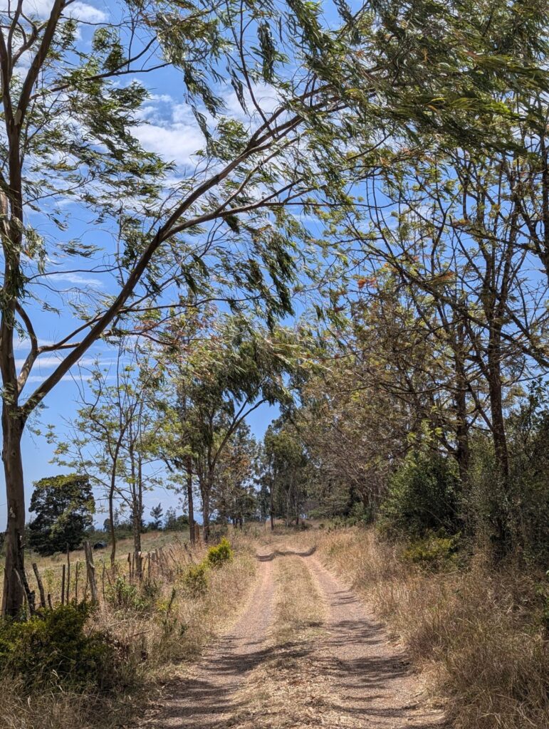
Charting the connection of circulation corridors needs to be directional, functional, experiential, and sustainable. From the central arboretum corridor, hosting a driveway, bike and walking trails, to the river access greenways, the design bias is towards making movement across the land easy to navigate for children, the elderly and disabled.

Hydrology

3 zones in the riparian area present natural points for natural storm water collection. Designing water pans in these zones presents opportunities for both water management opportunities blended with recreational and community experiences. Tracing the natural storm water pathways across the ground also presents the opportunity to craft our storm water management systems in ways…

“We’re building this community with care — and we’re always happy to connect with people who want to grow something meaningful. 

Interested in Mwatu? Let’s Talk.

Let’s Grow Something Meaningful Together

Mwatu is more than land; it's a thoughtfully designed neighborhood grounded in ecology, community, and care. If this vision speaks to you, we’d love to share more.

  • Steward-led living

  • Intentional community

  • Ecology-first design

Kenyua Gachecheh

Strategic Director, Mwatu

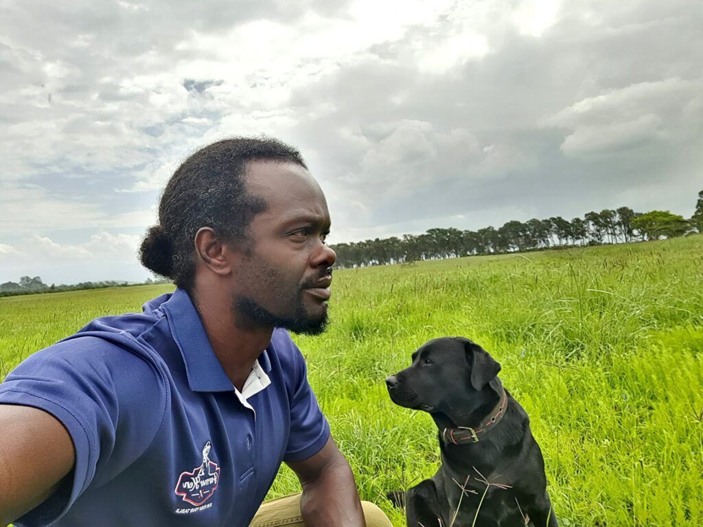
Kenyua leads Mwatu’s vision and execution, drawing from his work in the public sector, industry, regenerative land development, youth sports ecosystems, and creative strategy. He’s committed 12 acres of his own land to demonstrate how ecological and communal values can be aligned with commercially sound frameworks. His focus is on designing models of land development that create rather than consume space and which can grow steadily in ecological, communal and commercial value — and ensuring they’re implemented with clarity and care.

Elly Wanyonyi

Lead Landscape Architect

Elly is a registered landscape architect with a deep understanding of site-sensitive design. His work centers around integrating natural systems with human use, creating landscapes that are beautiful, functional, and ecologically aligned. At Mwatu, Elly leads the master-planning process — shaping everything from topography-sensitive layouts to native planting strategies, ensuring that the land’s ecological potential guides its use.

Michael Waiyaki

Ecological Advisor & Reforestation Partner (MITI Alliance)

Michael is the founder of MITI Alliance, an environmental organization dedicated to reforestation, ecological restoration, and community education. At Mwatu, he leads the ecological implementation plan — from native tree propagation to water system regeneration and long-term biodiversity stewardship. His work ensures that Mwatu is not only green by design, but will grow sustainably year after year.

Learn More: MITI Alliance

Quick Bits

Quick Bits

Land Suitability Summary

The different gradients across the land present different opportunities and levels of suitability for development.

Riparian land – 20.7%

Sections with steep slopes (above 20%) – 28%

Sections suitable for development (with less than 20% gradient) – 51.3%


Quick Bits

Quick Bits

Circulation

Charting the connection of circulation corridors needs to be directional, functional, experiential, and sustainable. From the central arboretum corridor, hosting a driveway, bike and walking trails, to the river access greenways, the design bias is towards making movement across the land easy to navigate for children, the elderly and disabled.

Quick Bits

Quick Bits

Hydrology

3 zones in the riparian area present natural points for natural storm water collection. Designing water pans in these zones presents opportunities for both water management opportunities blended with recreational and community experiences.

Tracing the natural storm water pathways across the ground also presents the opportunity to craft our storm water management systems in ways that work with the land

Quick Bits

Quick Bits

About Us